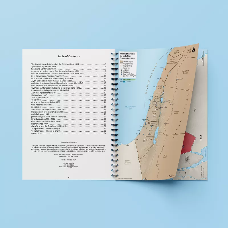
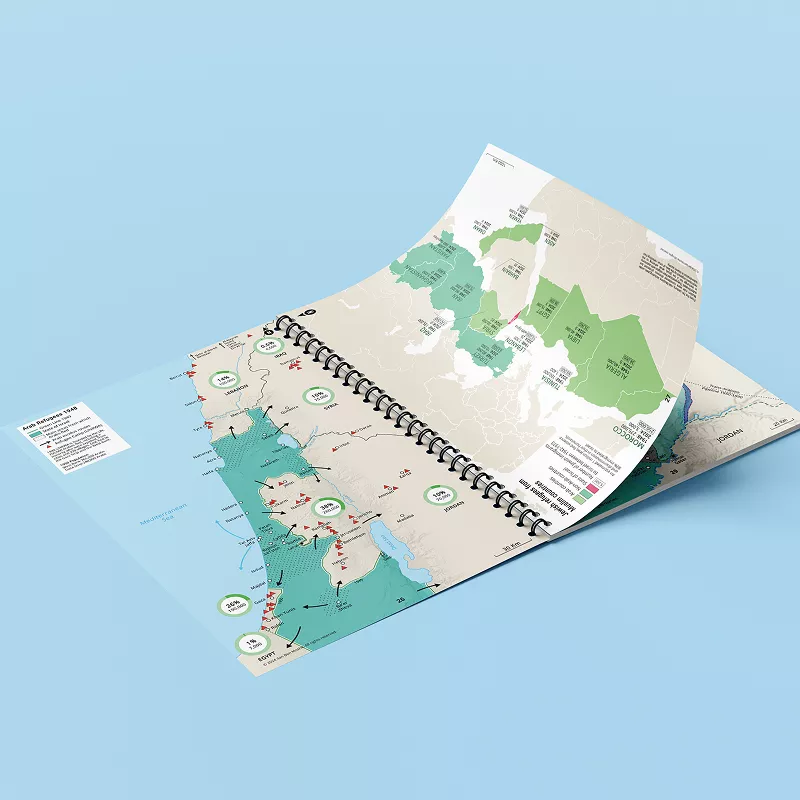
The Atlas of the Arab-Israeli Conflict
4th Edition — 32 Maps & Timeline
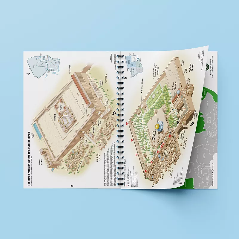
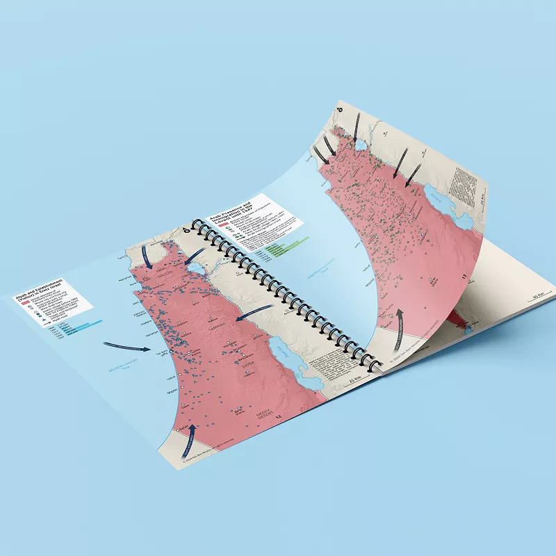
Gain a clear, visual, and neutral understanding of the lsraeli-Arab conflict from the end of the Ottoman empire up to 2023. This Atlas features 32 detailed maps and a timeline covering major events, border shifts, and the role of regional and global players.